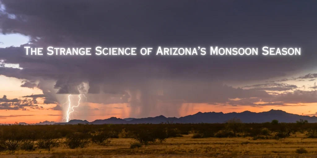
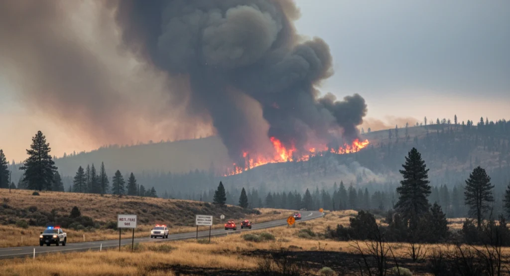
A rare clash of wildfire and storm conditions is forcing communities across Mono County to prepare for multiple life-threatening hazards.
A Dangerous Mix of Fire and Storm
California is facing a rare and dangerous situation.
The Pack Fire in Mono County has exploded in size at the same time that a strong storm system is hitting the region. This unusual overlap of extreme heat, wildfire conditions, and heavy rain is forcing communities to prepare for both evacuations and dangerous mudflows.
Fire officials say the Pack Fire grew rapidly in just a few hours due to hot weather, dry fuels, and shifting winds. At the same time, an atmospheric river storm is pushing into California, bringing heavy rain, strong winds, and flash-flood risk.
This mix of fire + storm is extremely unpredictable — and many towns are now on high alert.
What Is Happening Right Now
According to CBS News, the Pack Fire started earlier this week in Mono County and has been burning through dry forests, grasslands, and rugged terrain. As of the latest updates:
- The fire has spread across thousands of acres.
- Containment is still low due to high winds.
- Strong gusts are pushing flames toward new areas.
- Visibility is extremely poor because of smoke and dust.
The storm hitting the region includes strong winds and heavy rainfall in short bursts. Normally, rain helps firefighters, but this storm is arriving with high winds before moisture, which can actually make fires spread faster.
Evacuations and Emergency Alerts
Several neighborhoods in and around Mono County have already been placed under evacuation orders. Authorities warn that the fire could change direction quickly as the storm continues to push through the county.
Current emergency actions include :
- Mandatory evacuations in high-risk zones.
- Highway 395 closures in some areas due to fire, smoke, and debris.
- Temporary shelters set up for families forced to leave their homes.
- Alerts from the National Weather Service warning of flash floods near burn scars.
ABC News reports similar evacuation warnings across Southern California.
Some families say they had only minutes to pack up before deputies knocked on their doors.
Small towns and rural communities are especially vulnerable because many homes sit close to forests and have limited road access.
Local officials are asking everyone to stay prepared, keep vehicles fueled, and follow evacuation instructions quickly if new warnings are issued.
Why the Storm Is Making the Fire Worse
It may sound surprising, but firefighters explain that storms can sometimes make wildfires more dangerous, especially in the beginning stages.
Here’s why :
1. Strong winds come before rainfall.
High winds push flames across dry ground, helping the fire jump roads and fire lines.
2. Rainfall is uneven.
Some areas get heavy rain for a few minutes, and others get none at all.
This means the fire doesn’t slow down evenly.
3. Virga effect.
This storm includes “virga” — rain that evaporates before reaching the ground.
So clouds look dark, but the land stays dry.
4. Lightning risk.
Some storms bring dry lightning, which can spark new fires.
Fire experts say this combination creates an extremely difficult environment. Crews must be ready for both wind-driven flames and sudden weather changes.
A recent New York Times weather analysis also explains that heavy wet weather can intensify wildfire behavior before improving conditions.
Mudflows and Flash Flood Danger Rising
The fire is not the only threat.
The incoming storm also brings the risk of mudslides and debris flows, especially in areas burned recently.
Burned hillsides cannot absorb water well. When heavy rain hits dry, damaged soil, the ground can suddenly collapse — sending mud, rocks, and fallen trees sliding downhill in seconds.
According to a New York Times storm report, heavy rain could trigger dangerous debris flows in several burn scar zones.
The National Weather Service warns :
- Debris flows can start with very little rain.
- Flooding can happen within minutes in burn scar zones.
- Roads can become unsafe or completely blocked.
Several towns near the Pack Fire are under a flash flood watch. Firefighters say mudflows could be as dangerous as the fire itself, especially for drivers and residents living on slopes.
Firefighters Facing Extreme Challenges
Fire crews working on the Pack Fire say this is one of the toughest combinations they’ve seen in years.
Major challenges include :
- Low visibility due to smoke and blowing dust.
- Strong winds making air support difficult.
- Dry brush and dead trees fueling the fire.
- Fast changing weather, which can trap crews.
- Steep, rocky terrain slowing progress.
Some air tankers and helicopters have already been grounded because winds are too strong.
Despite these challenges, firefighters continue building fire lines, clearing vegetation, and trying to protect communities in the fire’s path.
What Local Residents Are Experiencing
People living near the Pack Fire are dealing with a stressful mix of fear and uncertainty.
Residents report :
- Heavy smoke entering homes.
- Ash falling across yards and vehicles.
- Schools closing in surrounding towns.
- Pets and livestock being moved early.
- Grocery stores running low on essentials.
- Worries about losing access to power and water.
Many roads in the area are narrow, so evacuation takes time. Families are packing documents, medicine, clothes, and emergency supplies in case they need to leave quickly again.
Some residents have already relocated multiple times this year due to fires.
Why This Fire Season Is Unusual
California’s wildfire pattern in 2025 has not been normal.
Experts say the Pack Fire represents a growing trend of weather whiplash — where extreme heat, sudden storms, and unusual wind shifts all happen in the same season.
This year California has seen :
- Longer heatwaves
- Very dry vegetation
- Delayed winter storms
- More lightning activity
- Frequent wind-driven fire events
Scientists say climate change is behind many of these new extremes. A warmer atmosphere holds more moisture, creating bigger storms. At the same time, hotter summers dry out forests faster, creating perfect fuel for fires.
This combination is why storms are now overlapping with wildfire season.
What Officials Are Asking People To Do
Authorities are urging residents to stay alert and follow official guidance.
Their key recommendations include :
- Keep phones charged for emergency alerts.
- Avoid driving through smoky or flooded areas.
- Prepare a “go bag” with essential items.
- Stay away from burn scars during rainfall.
- Follow Cal Fire, local sheriff offices, and the National Weather Service for real-time updates.
Officials say people should not wait for visible flames — if evacuation orders come, leave immediately.
Final thoughts
California now faces a rare double challenge: a fast-spreading wildfire and a powerful storm arriving at the same time.
The Pack Fire continues to grow, and the shifting weather is adding new dangers including mudflows, falling debris, and flash floods.
Fire crews and communities along Highway 395 are preparing for critical hours ahead.
Officials say the situation will continue to change quickly and urge everyone to remain alert, safe, and ready to move if needed.
Disclaimer :
This report is based on the latest available updates from Cal Fire, the National Weather Service, and regional news sources at the time of publication. Conditions may change rapidly. Readers are advised to follow official emergency alerts and local authorities for real-time information.

Contents
- 1 A rare clash of wildfire and storm conditions is forcing communities across Mono County to prepare for multiple life-threatening hazards.
- 2 A Dangerous Mix of Fire and Storm
- 3 What Is Happening Right Now
- 4 Evacuations and Emergency Alerts
- 5 Why the Storm Is Making the Fire Worse
- 6 Mudflows and Flash Flood Danger Rising
- 7 Firefighters Facing Extreme Challenges
- 8 What Local Residents Are Experiencing
- 9 Why This Fire Season Is Unusual
- 10 What Officials Are Asking People To Do
- 11 Final thoughts
- 12 Disclaimer :